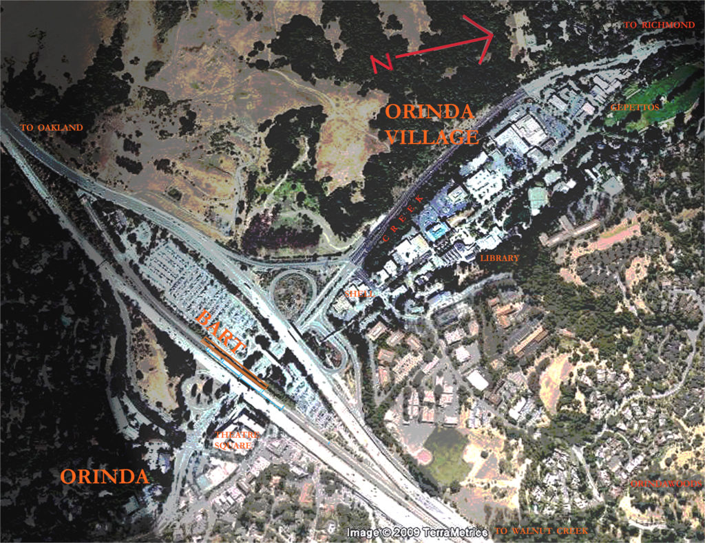
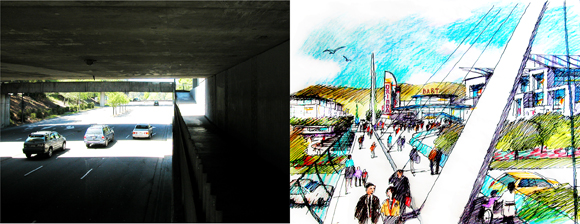
Orinda is a suburb of 17,000 people, 15 miles east of San Francisco, noted for its weather, topography, and schools. Its linear central business district was long ago bisected by a freeway and rapid transit line (BART), and the BART station’s massive surface parking lot. The resulting dual business areas are vacuous, inactive, and disconnected, and their low density has created a mediocre sense of place. (For example, the entrance view of the CBD when exiting the freeway is a liquor store parking lot.) The town’s single iconic building, an Art Deco movie theater with elegant marquee fin, anchors a semi-vacant retail complex. Although the city’s professed desire is to be “pedestrianized,” there is little to encourage walking, since the CBD is 80% pavement and has few focal points of interest.
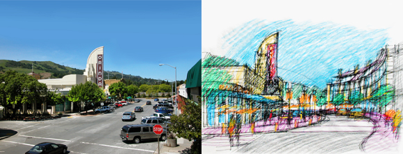
A grassroots planning effort has reviewed precedents from similar U.S. cities and pedestrian friendly cities in Europe. The study proposes to reconnect the dual CBDs by way of state-of-the-art pedestrian bridges that span the freeway and a mid-rise, mixed-use development above the BART parking lot. The BART station itself would become an enhanced transportation center serving trains to the city and airport, bus routes, taxis, bicycles, and car rentals for residents and office workers whose proximity to BART makes automobile ownership unnecessary. A large, sun-lit plaza will serve as the entrance image for the town, and an existing library plaza and fountain system will connect 900′ of pedestrian-worthy focal points with the existing civic center and library.
Author Peter Hasselman, FAIA,is an Orinda architect and veteran of many urban design studies for the Urban Land Institute and the AlA.
Originally published 4th quarter 2009 in arcCA 09.4, “Infrastructure.”

